The National Parks in Arizona are some of the best in the U.S. for hiking and exploring! There are 3 National Parks in Arizona – Grand Canyon National Park, Saguaro National Park, and Petrified Forest National Park. This blog is filled with TONS of information and photos of each of the National Parks in Arizona so be sure keep reading till the end!
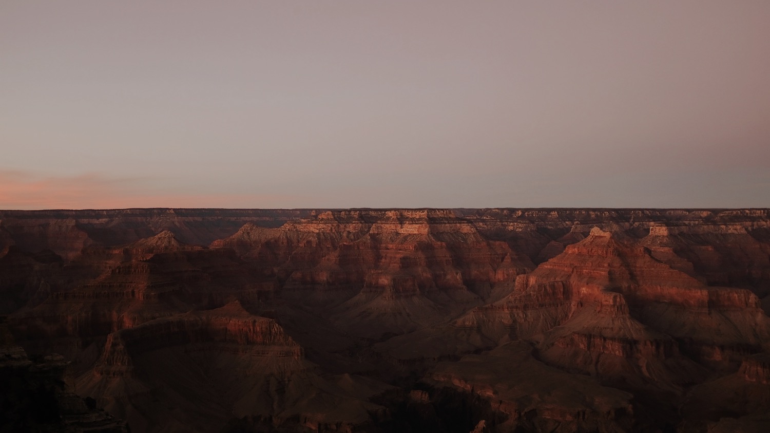
GRAND CANYON NATIONAL PARK
The Grand Canyon is the 2nd most visited National Park in the U.S. with over “6 million visitors in 2019“. Many people who have never hiked a day in their life have heard of it or have actually been to Grand Canyon. There’s an endless way to explore the Grand Canyon from hiking, helicopter, kayak, rafting, camping, mule rides, drive up viewpoints, and more!
WHEN TO VISIT
We visited in February 2021 with is towards the end of the winter season. I am a big believer that winter is the best season to visit the Grand Canyon National Park. Below are my main two reasons why!
1. Less Crowds
Winter is technically off season so the crowds were VERY minimal. Even though we visited on a Saturday of a holiday weekend, we never ran into any parking issues or over crowding on the trails. In fact, we actually hardly saw people during some portions! It was extremely quiet and peaceful. We loved getting to take our time enjoying the views without having to “wait in line” with a million other people. We had the chance to truly enjoy the views and get photos without tons of people in the background. Regardless, we still started on the trails early in the morning [around 7:00am]. The afternoon tends to get busier but NOTHING like summertime crowds.
2. Weather
It is no surprise that summer in the desert is HOT. But what most people don’t realize is that it gets subfreezing temps and even snows. We were lucky with “warmer” weather – lows in the 20s during early morning/night and highs in the 40s during the day. Personally, I would rather layer up to hike in chiller weather than in extreme heat. During the summer, hikers run a VERY high risk of passing out due to heat exhaustion and dehydration. Most of the trails in the Canyon are completely exposed to the elements, no shade whatsoever. During the winter, the sun actually felt nice at times. Where as in the summer you would try to do everything to get out of the sun! Like I mentioned above, the Canyon does get snow so be prepared and check the trail conditions. Depending on the conditions, you may need crampons or hiking poles to help cross icy/snowy areas.
After experiencing the desert in the winter, there is no way we will ever go in the summer!

WHERE TO STAY
I highly recommend staying in Flagstaff when visiting Grand Canyon National Parks in Arizona. We stayed in a SUPER affordable Airbnb in the residential area of Flagstaff. It was about a 10 minute drive from downtown and any restaurant or shop you might need to go to during your visit. Our host, Sheryl, was so sweet! She made us feel right at home and offered so many insights and recommendations for Flagstaff, the Grand Canyon, and the surrounding areas.
Flagstaff is a Dark Sky City which makes it one of the best places in the country to see stars! There are special lights around town that are regulated by the city to make sure they are within the Dark Sky Guidelines. After our hike in the Grand Canyon, we went stargazing. Multiple locals told us the best place to see the stars is at the Arizona Snowbowl but sadly they closed the mountain to all non skiers/ snowboarders due to COVID so we couldn’t get up. Instead we went to the Lowell Observatory [also closed due to COVID]. We drove up to the top and parallel parked on the road just outside the gates. Just get out of your car and look up! If you want to stay in your car, you get an incredible view of the city of Flagstaff. Although these are some of the best places to stargaze in the area, since it’s a Dark Sky City, you can’t go wrong even by looking up at the stars from the grocery star parking lot ha!
WHERE TO EAT
Our first day, we spend our morning/early afternoon exploring downtown Flagstaff. There was a lot of cut mountain stores, coffee shops, and local restaurants. We grabbed coffee at a local shop, Late for the Train. They had the friendliest staff and most incredible pastries I’ve ever seen that are all made fresh in town!
After walking around for a bit, we stopped for lunch in a restaurant recommended to us by locals – Proper Meats + Provisions. It was a butcher shop and delicious sandwich place! Our personal favorites were the Pulled Pork and the Philly Cheesesteak sandwiches.

HIKING
It’s no surprise that hiking is one of the most popular things to do in this Arizona National Park! One unique thing about hiking in the Grand Canyon is that you begin your hike decesending and end the hike climbing up. It’s the opposite of most hikes! Due to this, it can be quite deceiving thinking it’s not that hard…until you realize the hardest part isn’t over after you reach the half way point!
Since we were doing a weekend trip, we only had one day in the Grand Canyon. So we did lots of research on what the best hiking trail is in the Grand Canyon. Plateau Point via Bright Angel Trail was the one we decided on because you got the most diverse views and “overview” views of the Grand Canyon!

Plateau Point via Bright Angel Trail
Elevation Gain: 3,156 ft
Mileage: 12.18 miles
Trail Overview: Wonderful hike into the Canyon with views of the Colorado River below at the tip of Plateau Point
We chose this trail because it was a manageable day hike that gave us a “taste” for the entire Grand Canyon! It was an extremely well marked trail with a relatively wide path for a majority of the trail. We were surprised by all the water stations, restrooms, and shade shelters on the way down! There were 3 in total – 1.5 miles, 3 miles, and down at the Shadow Ranch Campground. If we had known that, we probably would not have started with so much water in our packs. Always check the National Park website for trail updates. During certain months in the winter, the water stations are closed!
The Grand Canyon is a unique place to hike because the first part of your hike is all a descent, leaving the hardest part of the trail at the end! Keep that in mind when you pace yourselves. That way you aren’t completely exhausted when it’s time to turn around and hike up the canyon. For example, you’ve already hiked 9 miles when you get to the final 4 mile ascent back up the canyon. Keep reading for a more detailed “play by play” of the hike!
Pro Tip: mules take this path too, so watch your step for mule poop. Nothing you can’t dodge!
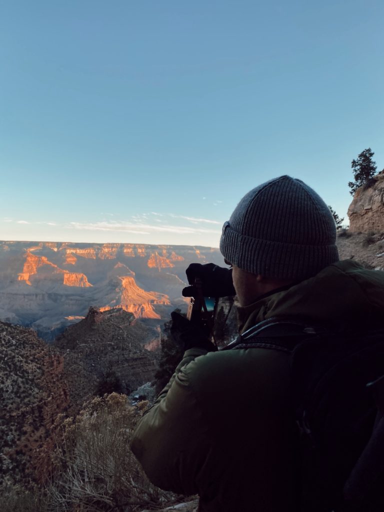

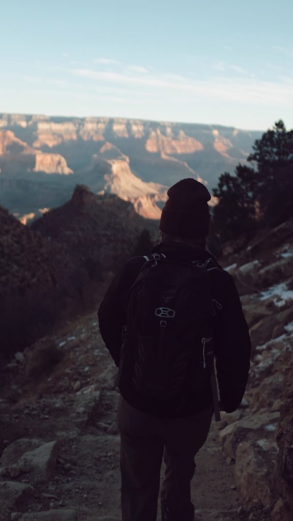
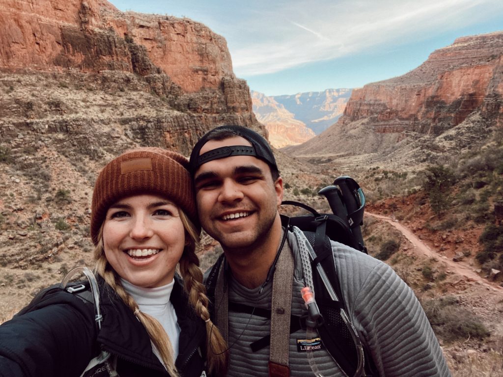
Above: Look where the sun is touching the canyon. The brighter section at the bottom of the natural formed “V”, all the way out, is the Point you hike to!
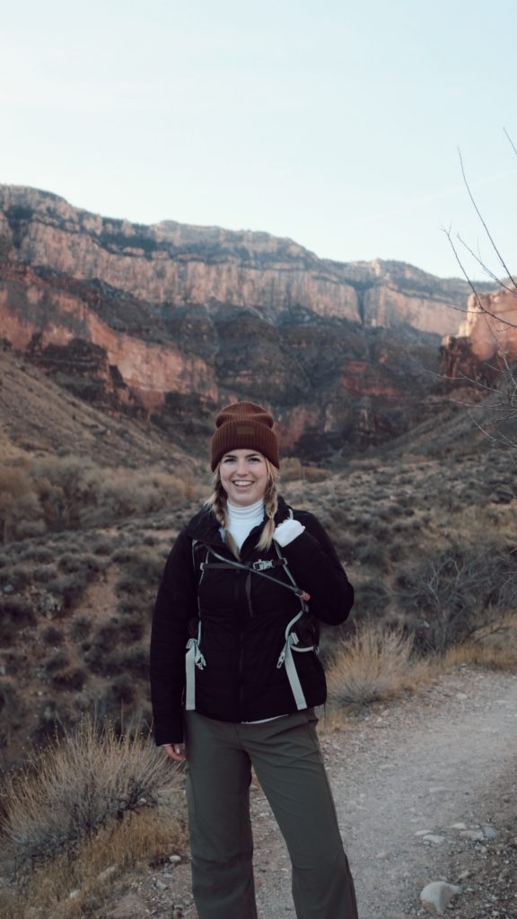
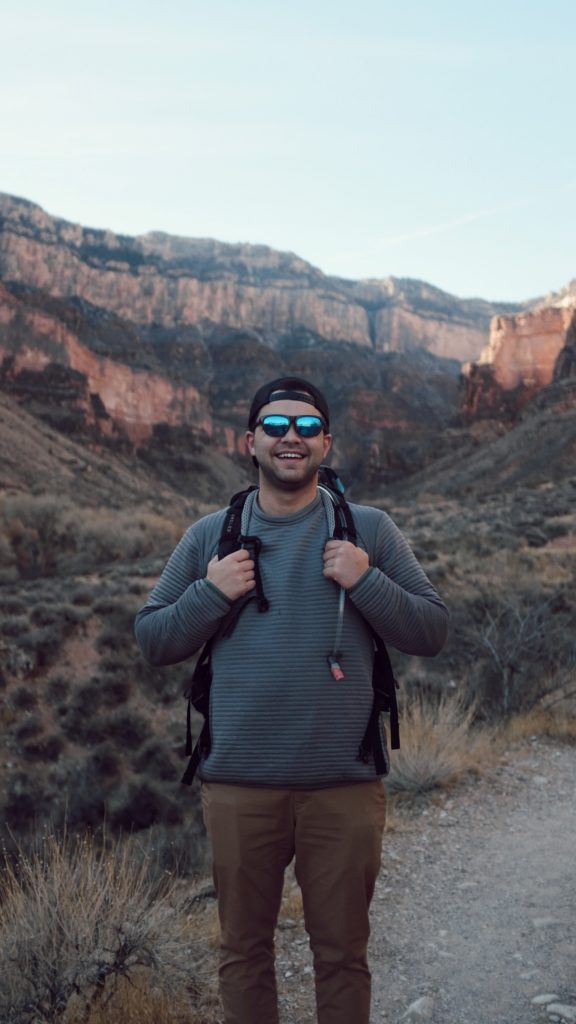
Visiting one of the National Parks in Arizona? Check out my Hiking Guide for Beginners!
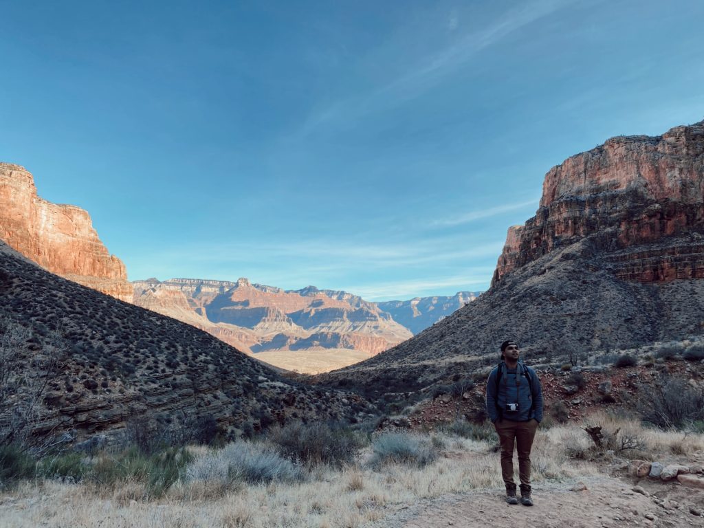
Above: During a water break, Caleb admiring how far down we’ve come from the top of the Grand Canyon Rim.
Below: For reference, the top of the wall [where the airplane flew over] is where we started!

The last few miles before reaching the Point are relatively flat, hence the name “Plateau Point”. That portion feels quiet long since it constantly seems like “oh, it’s just over this ridge!”…. but KEEP GOING!!! It’s worth the view!

AND WE MADE IT TO PLATEAU POINT!
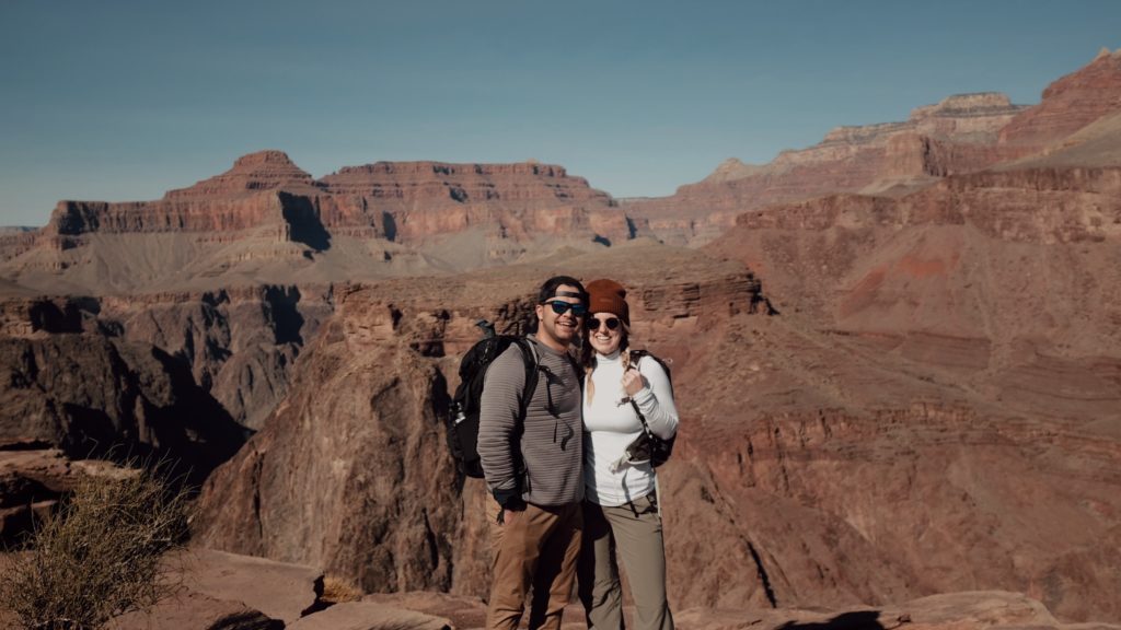
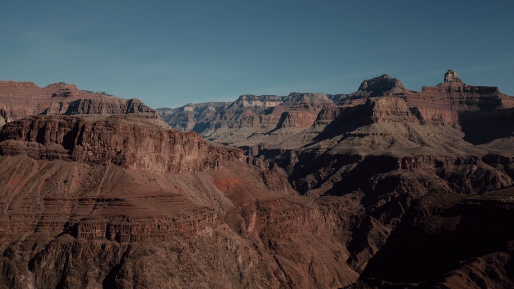

From Plateau Point, you have a super cool vantage point view of the Colorado River! We wanted to keep hiking down to the river because it looks super close but it’s basically the same milage you just hiked [so double round trip]. The National Park Service STRONGLY advising against going rim to rim in one day due to the milage and elevation change. You can stay at the bottom overnight and make it a 2 day hike!
Fun Tip: Almond Butter and Jelly sandwich for the win, ALWAYS. My other favorites to pack for lunch are granola bars, fresh or dried fruit, and chocolate covered almonds as my “treat”. Bring hand wipes to use before/after eating. Then reuse the food bags to pack out your trash. Remember to “Leave No Trace”- even biodegradable food hurts the environments and wildlife!


We saw a lot of people hiking down later in the afternoon that just went a half mile to a mile down before turning around just to get a little different view without hiking the entire trail. But if you can, it is definitely worth hiking the entire trail! The entire hike took us approximately 8.5 hours with plenty of stops for pictures on the way down and a picnic lunch at the bottom!
Friendly reminder, we did this trail in the winter, it would be VERY different in the summer. You would need to stop a lot more for water breaks and taking shelter in the “shade shelters” throughout the trail.
BEST GRAND CANYON LOOKOUT POINTS
When visiting National Parks in Arizona, be sure to stop at the many look out points. I highly recommend stopping at them if you’re driving around the Grand Canyon. You get to see some absolutely incredible views without hiking. Great for families with small children, people that aren’t avid hikers, and people with disabilities who are looking ADA accessible/friendly views. Basically, you just park and walk out to the rim! While there is a paved path, there are also lots of areas you can go out on more gravel/rocky terrain [both with and without railing].
100% the best time to go is at sunset! At sunset, the light hits the canyon in a way that makes all the colors show in the most beautiful way. When it’s broad daylight [or even sunrise], the canyon almost looks one dimensional because the direct sunlight doesn’t show all the depth. It’s still stunning with the bare eye but doesn’t photography as well. Once the sun starts to go down, all of the details of the canyon wall rocks start to show! You cannot beat the sunset on the canyon – photos truly do not do it justice!
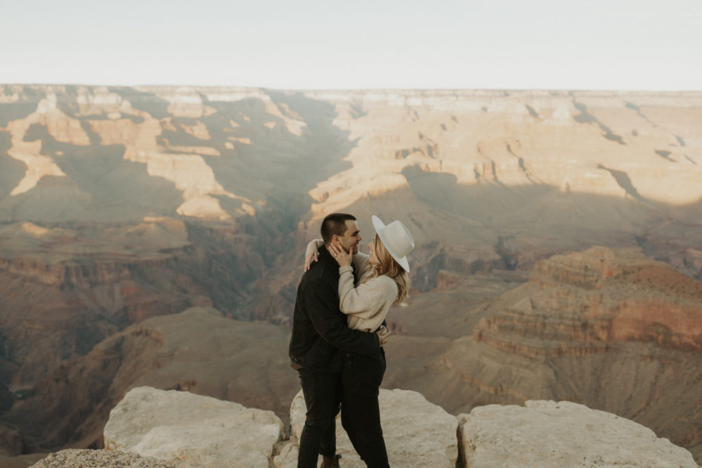
Yavapai Point
This was one of the larger points we saw – it had a spacious parking lot with plenty of bathrooms, maps/signs, and paved walking paths. Since we did not walk all over [only went to a few spots for photos], I’m not exactly sure the mileage of the paths.
There were plenty of different places to stop to take in the view – some with railing, some without! A great mix for people with different levels of comfort. It was nice to have spots without railing if you want photos that look more “secluded” or in nature! Of course, use your own judgement and be cautious, but they were still relatively safe [firm ground and you could still walk a ways out without being truly on the edge].
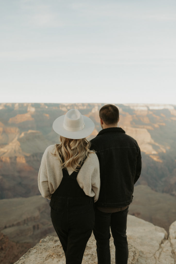

Powell Point
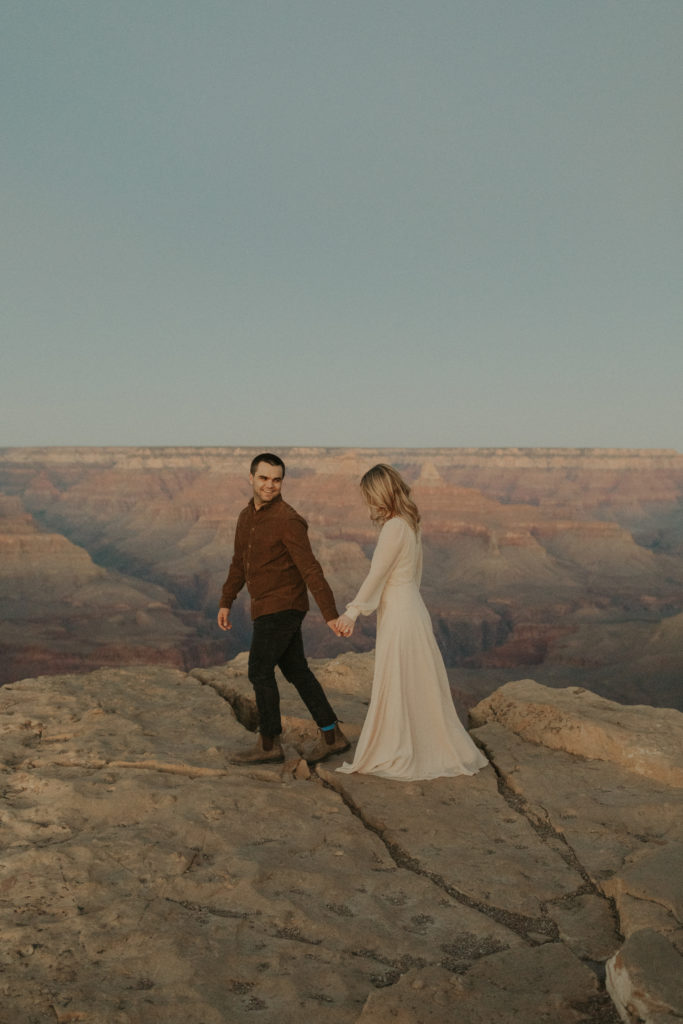
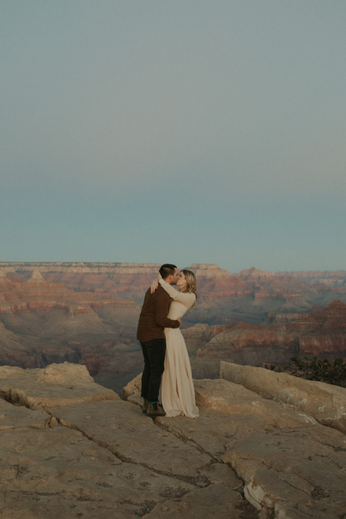
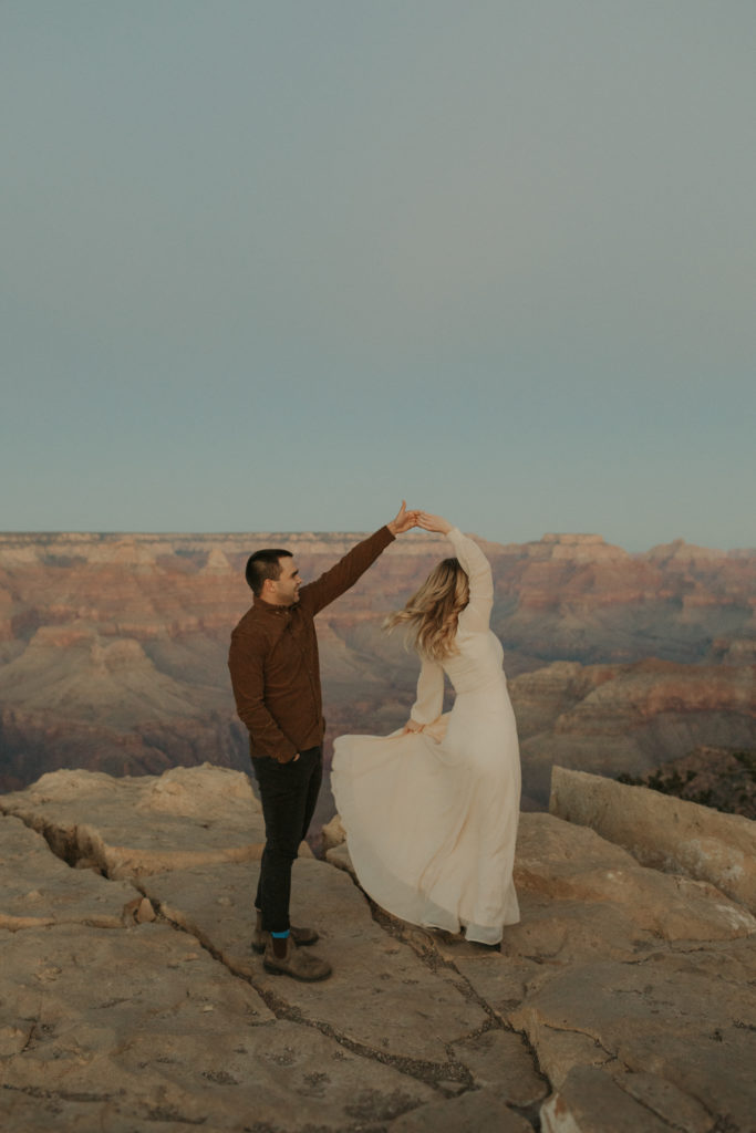
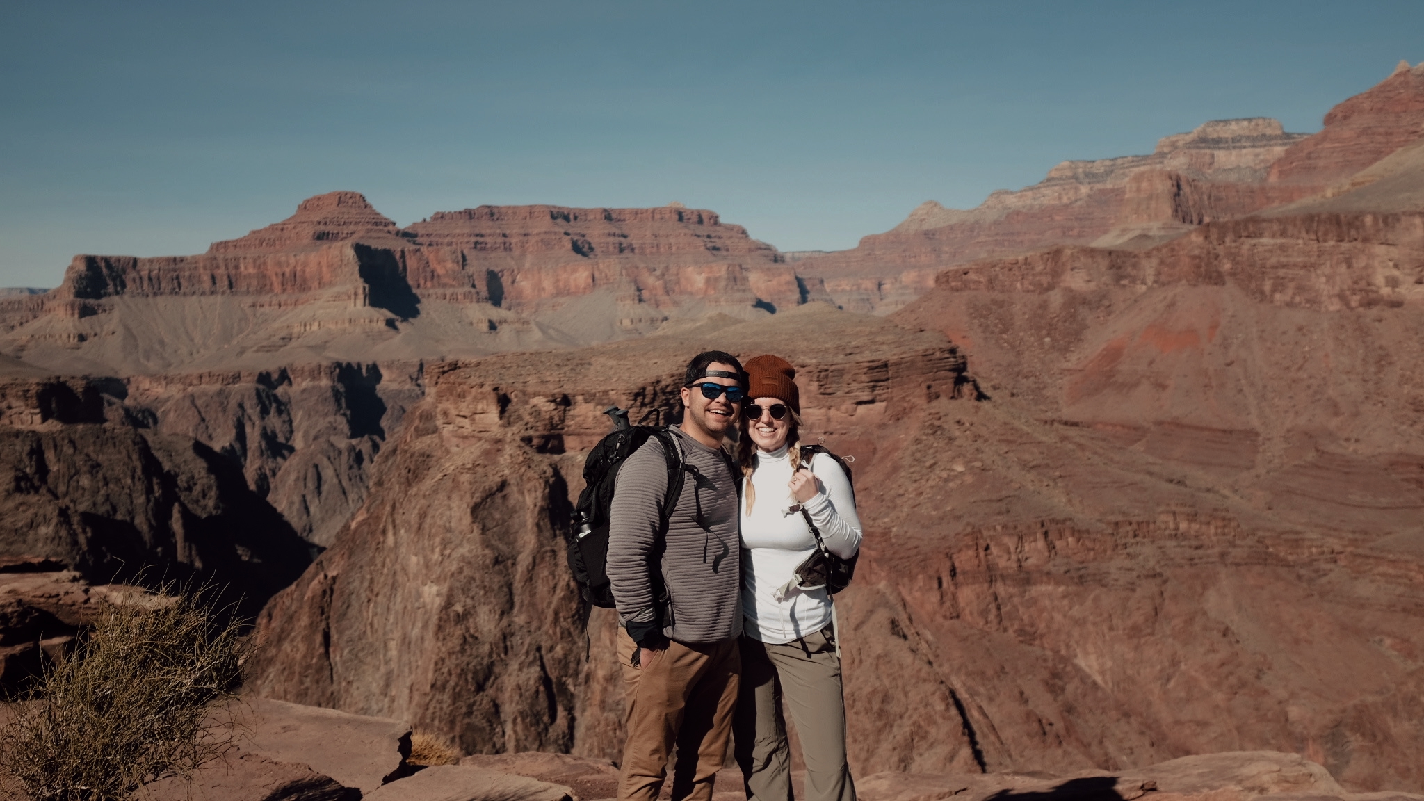
This is the second point we went to and it was more of a peninsula out into the canyon, rather than walking along the top of the rim. Powell Point had INCREDIBLE 360 views.
There was a few parallel parking spots but no lot or bathrooms. As you walk out to the tip of the point there are benches on either side that you can sit on to take in the views! Again, GO AT SUNSET! It was one of the most beautiful sunsets I’ve ever seen.
SAGUARO NATIONAL PARK
Another one of the three National Parks in Arizona is Saguaro National Park located near Tucson. There are actually two different parts of Saguaro National Park [West and East] that about an hour away from each other. After reading a few articles about the differences in the sides of the National Park, we decided we had to experience both for ourselves. Below is our breakdown of our thoughts and what we did in each side of the Park!
SAGUARO WEST
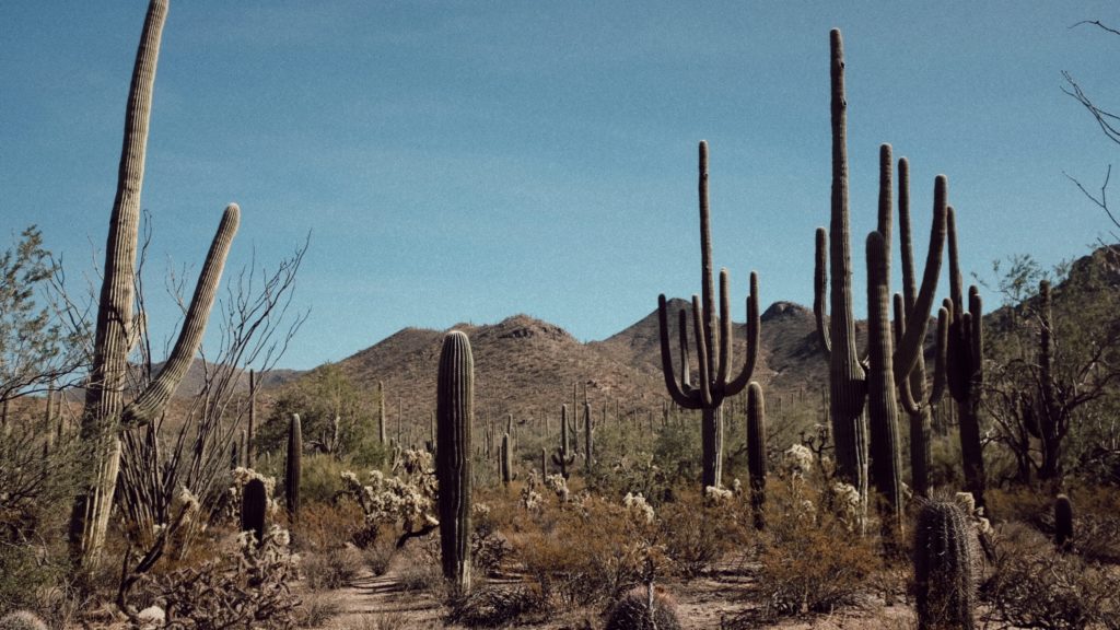
When you think of Saguaro, I feel like West is what you picture because there are cactus EVERYWHERE! It definitely feels like you’re in a remote place in the wild, wild west. The roads are all gravel and bumpy terrain. We decided to take it easy after our long hike in the Grand Canyon, so we did more of a scenic loop trail.

Valley View Overlook
Mileage: 0.8 miles
Overview: Easy, scenic loop trail
It was a very well marked trail with easy terrain and very little elevation. It was a gravel path with lots and lots of cactus and diverse desert vegetation. There were signs along the path that explain more about the plants and wildlife! At the end, it opens up to a view of the valley.
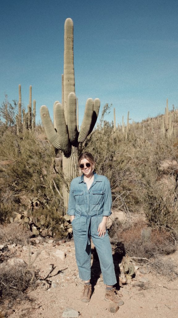
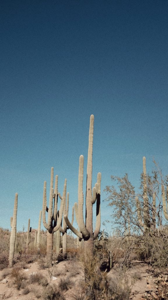
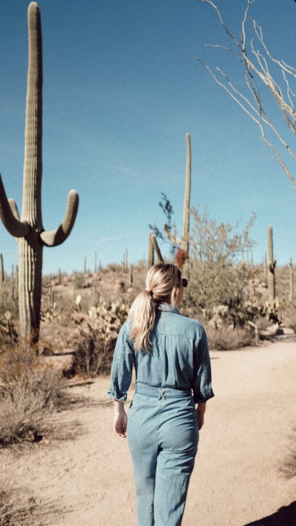
After about an hour of exploring Saguaro West, we headed over to Saguaro East!
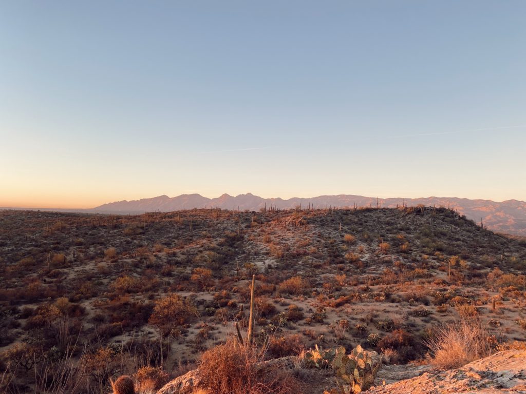
SAGUARO EAST
This side is more mountains, less cactus. We read one of the signs in the park that a lot of the cactus on this side of the park died due to a cold front and from being left unprotected. Many were cut down and being trampled over by herding cattle, killing new growth.
Cactus Forest Drive
8 mile Scenic Drive Loop
Personally, I found this scenic drive much prettier than the one in the West. It was a paved path [rather than gravel] with lots of pull outs to stop and get out to explore more! If you’re looking to stay in your car to absorb the views I would recommend the Cactus Forest Drive over any scenic drive in either park. There’s also a bike lane so you can bike the loop – we saw lots of people doing it and we wished we were one of them ha!

We started the loop about an hour and half before sunset – could not have been better lighting! It took us about 45 minutes to go around the loop but we didn’t stop at every possible point since it was a lot of the same. We did stop at the last pull out/overlook, Javelina Rocks, to watch the sunset.
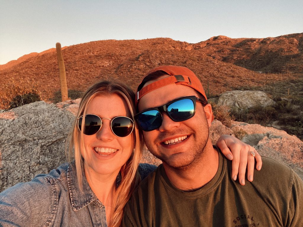
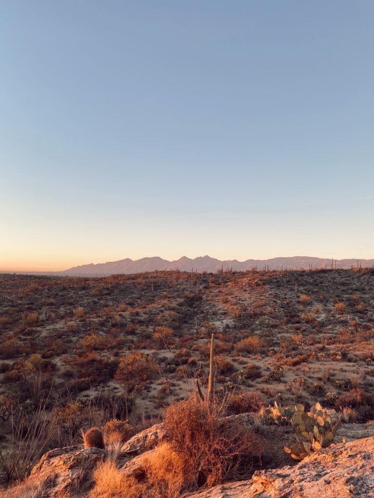

Our final verdict: it depends on what you’re looking for -cactus or mountains! I enjoyed the West because of it’s more wild, remote nature and was the vibe I was thinking Saguaro would be like. But I loved the contrast of the mountains with the cactus, especially at sunset! But if you HAVE to choose one – I would say go to Saguaro West! It’s more unique to the National Park since there are lots of other places with mountains and cactus in the desert.
PETRIFIED FOREST NATIONAL PARK
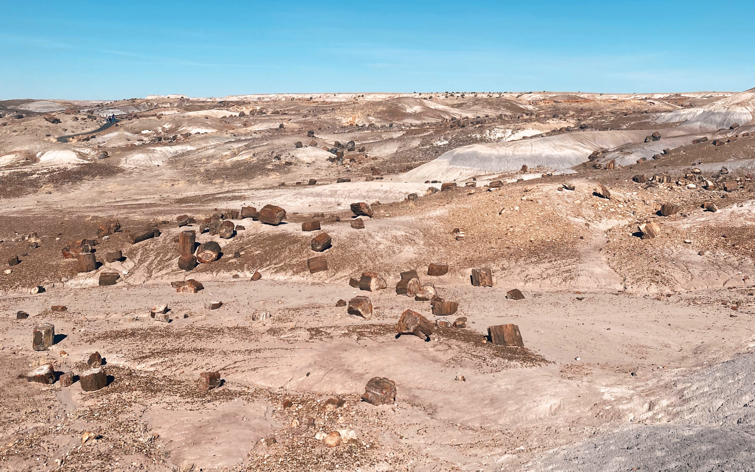
Petrified Forest is probably the least known of the National Parks in Arizona. It’s located near Holbrook in Northeast Arizona. While “forest” is in the name, there is not forest-like about this place. You will find mostly flat areas with cropped up petrified wood. You won’t need more than an hour or so to drive around this National Park, stop at a few viewpoints, or walk around a small trail.
WHEN TO VISIT
The Petrified Forest National Park is only open from 8:00am – 6:00pm MST. But you must enter the park before 5:00pm. Keep in mind Arizona doesn’t observe daylight savings time! Since this isn’t as highly trafficked as some of the other National Parks in Arizona, you don’t really have to worry about a busy season with tourists. Although, summer does tend to be the most trafficked [probably from people visiting Arizona in general]. The summer is also monsoon season. I would recommend visiting in the spring or fall for the best weather and lesser crowds!
VISITING PETRIFIED FOREST
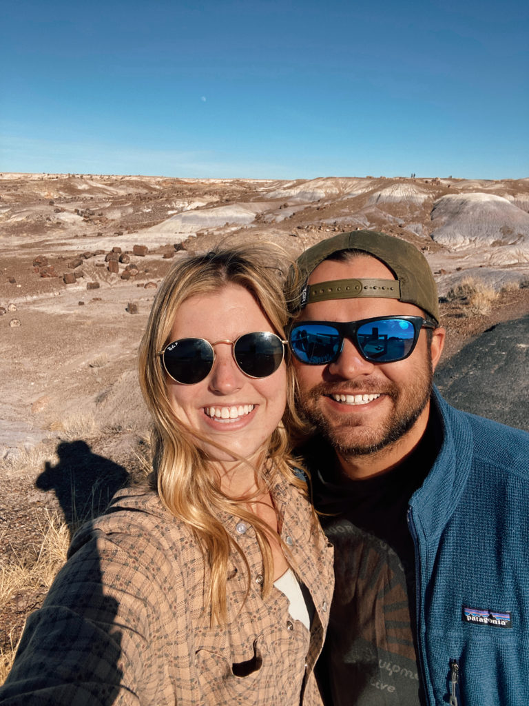
When visiting on your trip, there’s a few different things you can add to your itinerary! Driving around the park, going on hiking trails, doing a tour with a Ranger, biking, backpacking, and more! Check out the NPS website for more information about visiting. For a brief overview of the park, “the highest concentrations of petrified wood are found in the southern end of the park. While the northern end showcases the human story and Painted Desert vistas.” Both areas are pictured below!
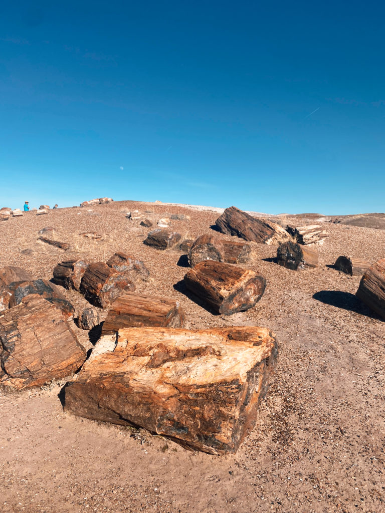
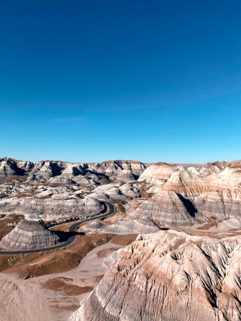

Petrified Forest is not a National Park in Arizona that I would recommend making a special trip to visit. But rather a great place to drive through or stop at on your Arizona road trip!
Comments +